Planning & Zoning
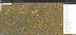
This map contains parcel lines, address points, zoning, future land use, existing land use, past applications, overlay zones, historic districts and focal point plan boundaries. Tools include notification by mail, parcel select, and typical measure, draw, print and export.
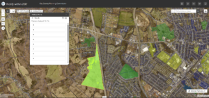
200′ Notification App
Use this application to select parcels with 200′ of a proposed rezoning boundary and then select the address points to export out to a .csv file for a mail merge.
Transportation & MPO
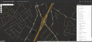
Transportation information including speed limits, traffic counts, roads, sidewalks, existing/proposed trails/greenways, MTP, TIP, and CHAF projects and the urbanized area boundary. Tools include a MPO project search and typical tools.
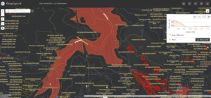
Geophysical
This map contains a terrain map, contours, spot elevations, sinkhole/cave probability, wetlands, floodplain, prime farmland, soil suitability for septic tanks, and the karst drastic index. Tools include an elevation profile creator and typical tools.
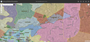
Voting & Political Boundaries
This map contains voter precincts, county magistrate districts, state representative districts, county volunteer fire districts, and zip code boundaries.
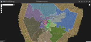
Public School Districts
This map contains public school districts for Warren County Public Schools and Bowling Green Independent School districts. Student attendance boundaries for elementary, middle and high schools as well as school board member voting areas.
