The tornado damaged neighborhood area maps can be downloaded here. These maps show the boundaries where the City of Bowling Green moratorium is in place. Rezoning and building permit applications that are requesting to change from single family to multi-family will temporarily not be accepted in these areas. This in no way limits repairs or new builds that match what was in place prior to the tornado. Please call our office for more information or clarification.
For information on cleanup efforts, donations, volunteering, food, shelter, clothing etc. please visit wearebgstrong.com. The wearebgstrong site is the only official source of local information.
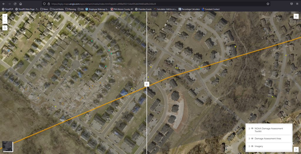
Tornado Path & Damage Aerials
This map shows the official tornado path from NOAA and contains aerial imagery of the damage compared to March 2021. Use the swipe tool to see before and after. Damage assessment points from NOAA are also provided.
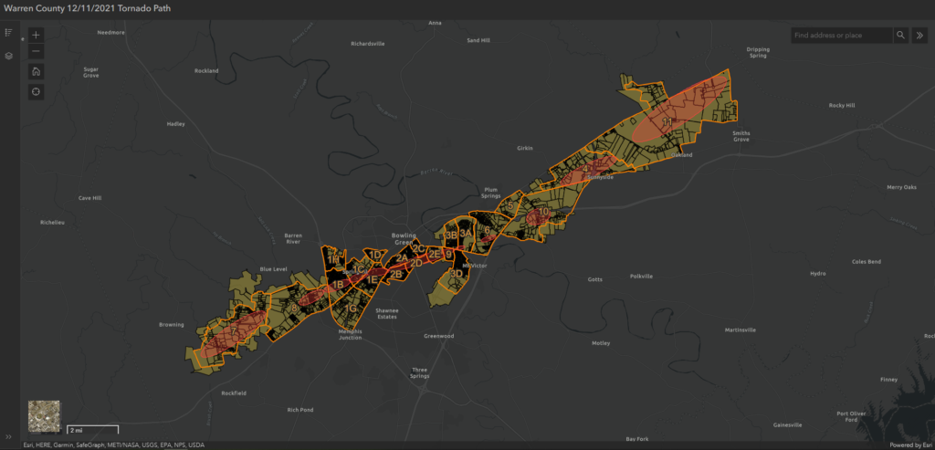
Damage Assessment Map
This map is being used by staff of multiple agencies to guide them in conducting damage assessment. Progress updates are anticipated to be available soon.
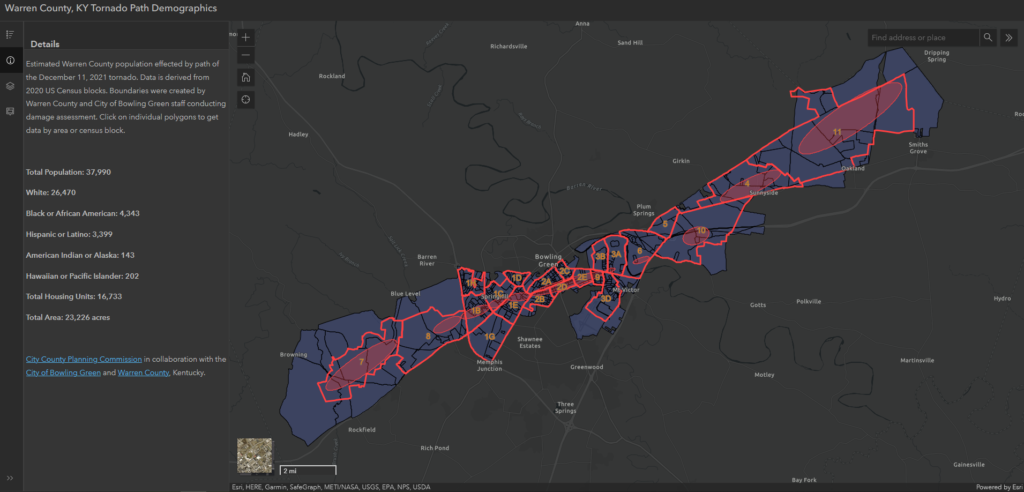
Tornado Path Demographics
This map gives a demographic overview of the areas effected by the tornadoes derived from 2020 US Census data.


